|
 |
||||
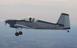
Today's destination is Nantucket, MA. My cousin Gabrielle's cousin Tara is having a grand opening of her second skin care store Follain in Nantucket, and Gabrielle asked me if we could take the airplane up there for a day trip. The obvious answer was of course "Heck Yeah!". This is the route I planned to take - go above the NYC class Bravo, hug the CT coast, then around Providence, RI cross the Atlantic to Martha's Vineyard, and then finally to Nantucket. The winds were howlin' today - mostly a headwind up there, and gusty strong winds for the landing in Nantucket. It was within my comfort zone - but barely! 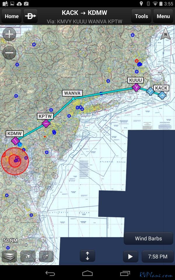 Off we go! The trip up was light to moderate chop the entire way. We stayed relatively low (3,500') to minimize the headwinds. Gabrielle was a real trooper the trip up. 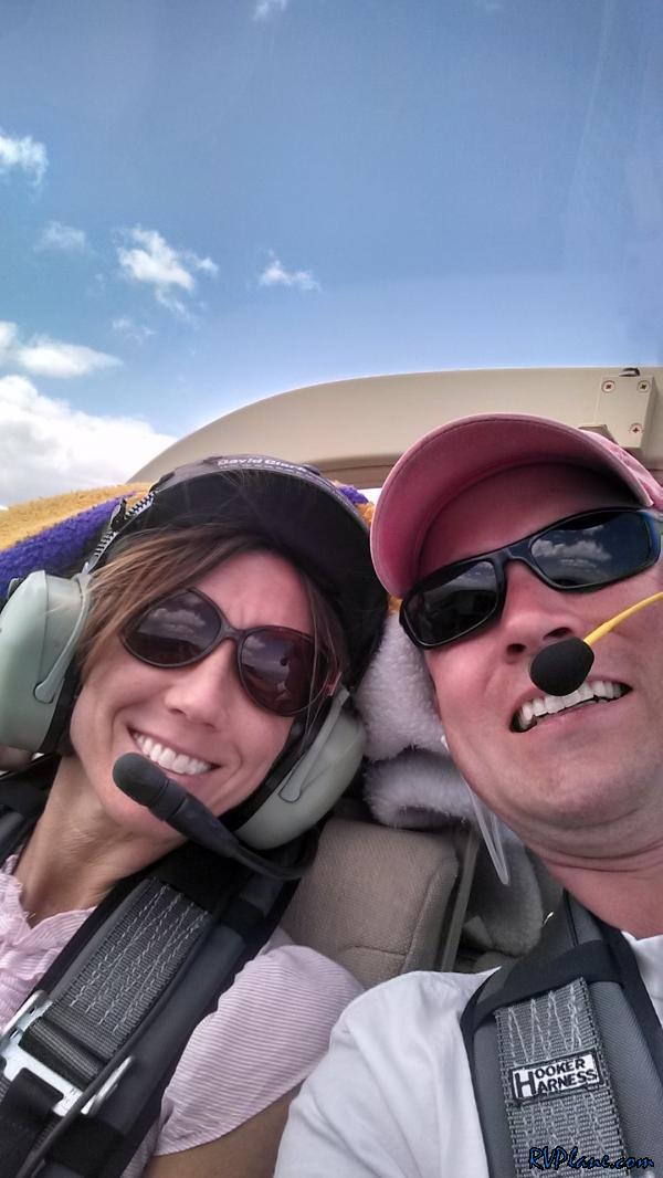 RV "Selfie" 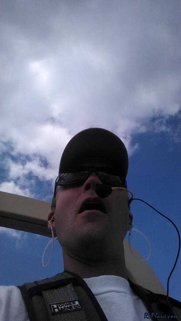 ADS-B showed some rain ahead of us, noted in the yellow. There has been talk on the VAF forums on how the Garmin Pilot app doesn't paint an accurate picture of how intense the rain depicted on ADS-B is. The cell was small enough that I decided to get close to it to find out for myself.  Passing over New Haven, CT 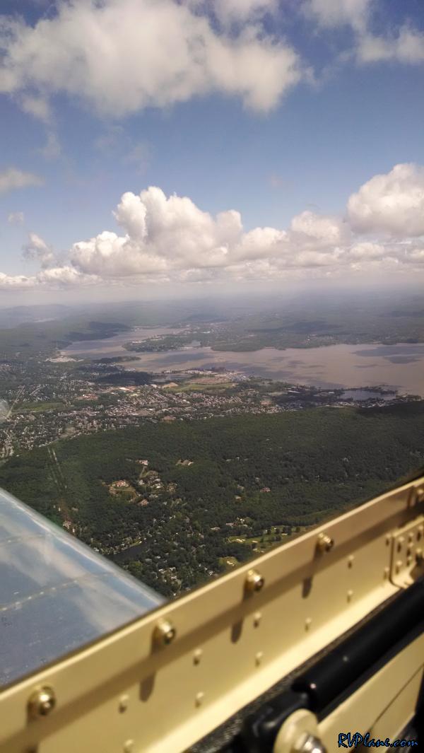 Turns out it was pretty accurate! Although the picture is deceiving, I wouldn't of wanted to fly though it. It was a descent downpour of rain. 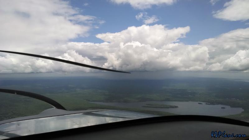 We passed over the Foxwoods Casino in CT. For those loyal followers of this web log, this is the casino Gabrielle and I visited in December and won big money at. 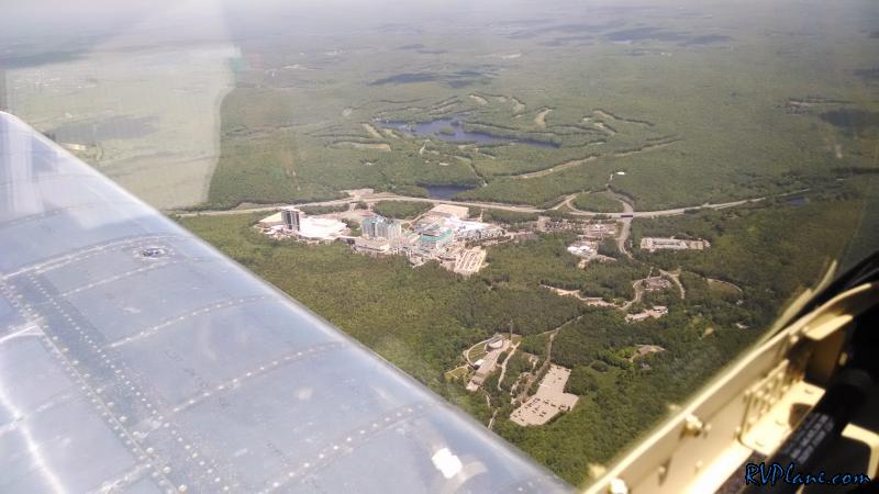 Passing near Providence, RI. 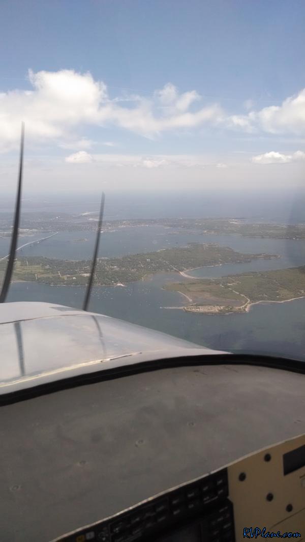 The ocean is just lovely up here. A deep blue color. We don't get this color ocean around MD - it's more of a murky brown. 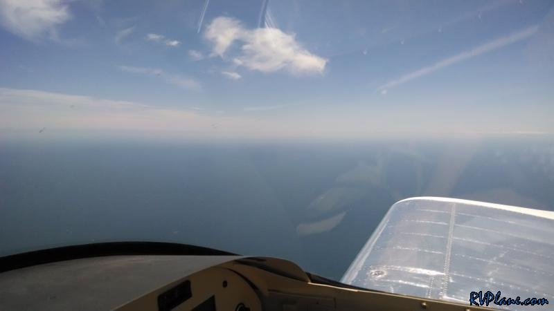 About to leave the mainland to cross over to Martha's Vineyard. I climbed to 5,500' in order to have some altitude to be able to glide back to land in case of an engine issue. We passed overtop of Martha Vineyards class D airspace and then descended towards Nantucket. The wind at Nantucket was BLOWING! I believe the METAR/ATIS indicated it was 22G34. It was an amazing approach to runway 6 - right over the ocean with a bunch of other traffic approaching (mostly commercial). The landing seemed slow although I had basically no flaps in. It was hairy until I got my upwind main gear on the pavement and was able to negotiate the other wheels on the ground. The landing fee was reasonable at $5, and the staff at the FBO couldn't of been more pleasant. To boot, fuel was relatively affordable at $6.18/gallon - only about $0.20 more than it was back at home. 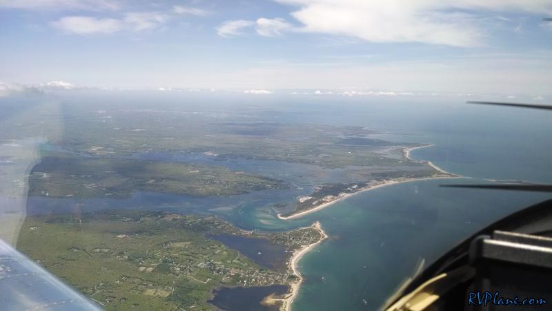 We had a nice lunch at Pi Pizzeria and then walked towards town. It was quite chilly on the island - only 55 degrees for a high. 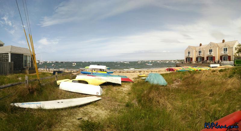 The US Coast Guard base at Lighthouse point. 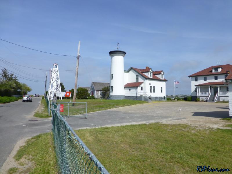 A great shot of our Flag. 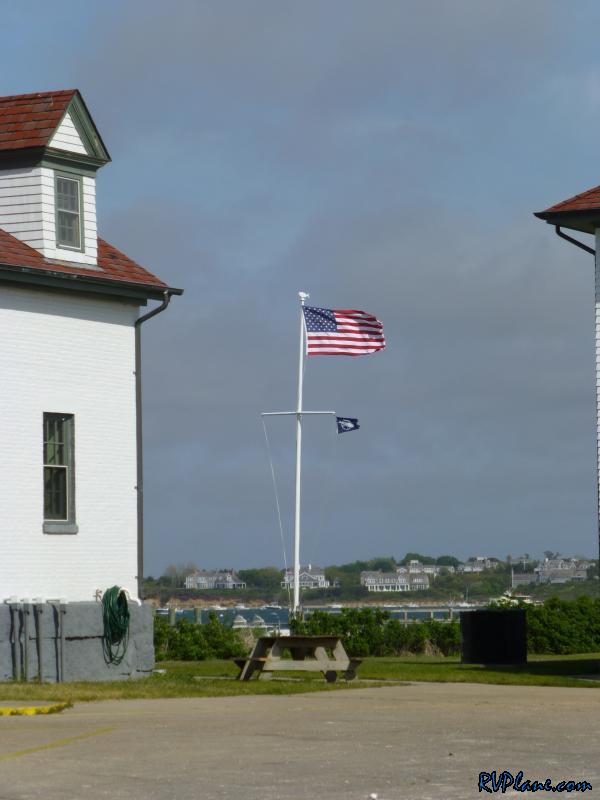 Gabrielle gave a nice smile, even though I know she was very cold. 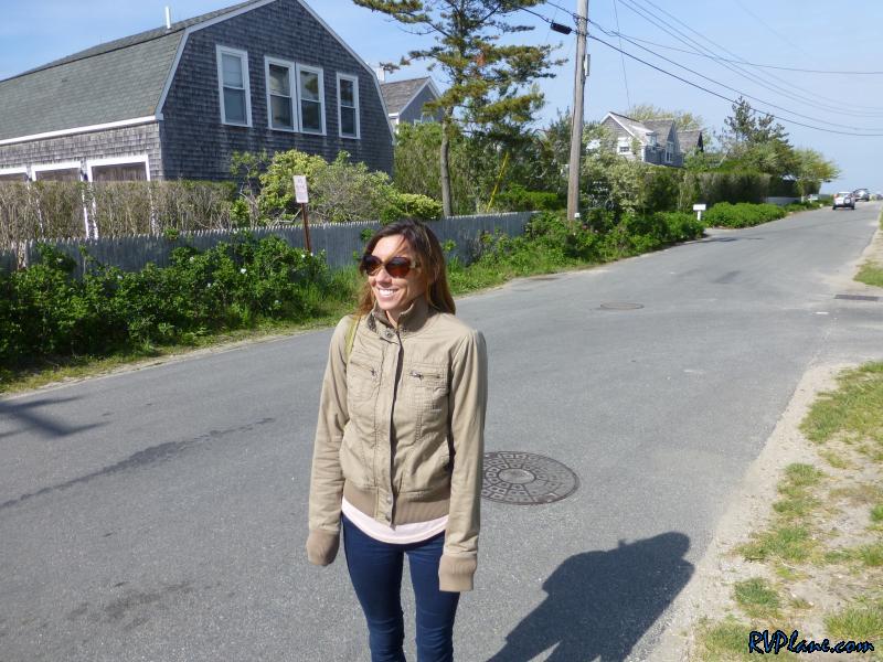 A panoramic shot of Lighthouse Point. 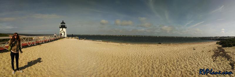 We have a nice time with Gabrielle's cousin Tarra and her new store was very nice. However, all good things must come to an end, and we needed to get airborne to make it back home before sunset. There were some serious planes parked on the tarmac at KACK. 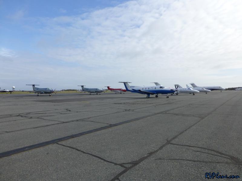 And some still some serious winds! 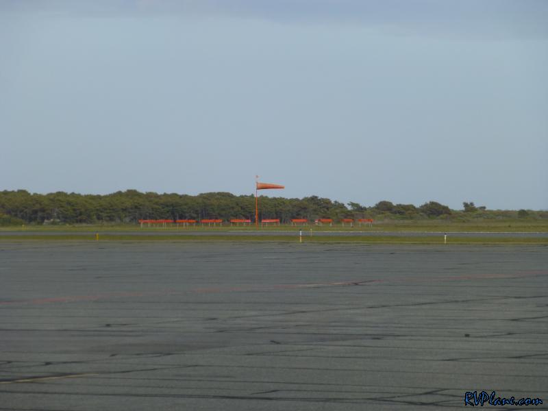 The GA lineup for visitors. No other RV's to be seen. 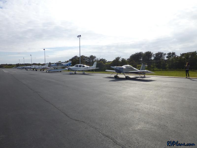 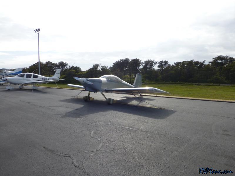 The obligatory shot of my RV with the KACK facilities behind her. 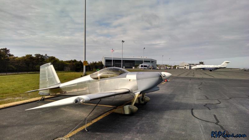 Takeoff was a non-event, and we had what I was looking for the whole day - a tailwind. Very rare to experience this heading west. 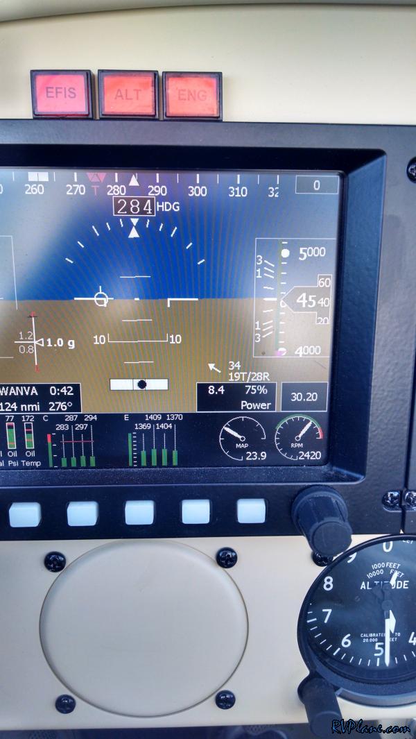 Block Island, RI to our south in the distance. The trip home was uneventful and we landed about an hour before sunset. 5 hours in the air today, and a great use of the RV! 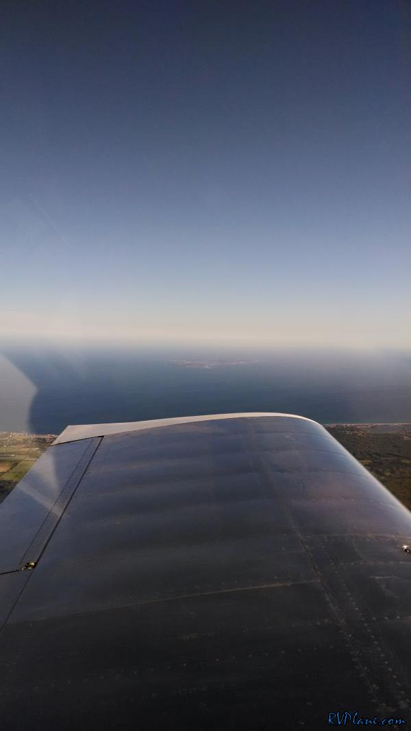
|
|||||
|
http://RVplane.com |
Last Modified: January 31, 2026 |